WEATHER ALERT
ENVIRONMENT CANADA
*************************
Weather advisory in effect for:
- Guelph - Erin - Southern Wellington County
- Kitchener - Cambridge - Region of Waterloo
- Mount Forest - Arthur - Northern Wellington County
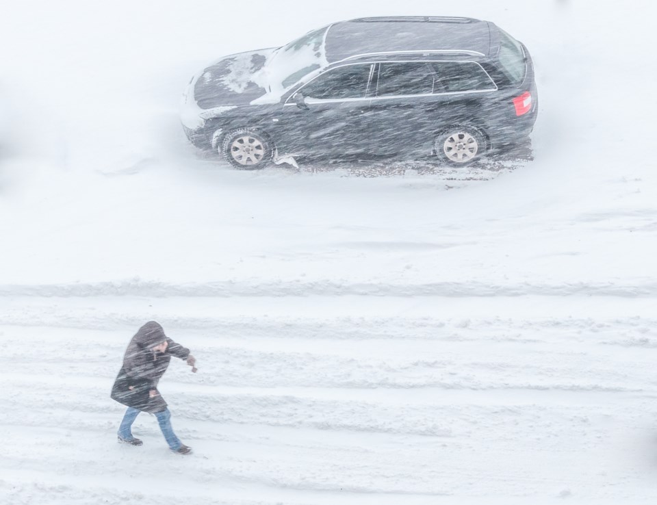
Winter weather travel advisory in effect.
Hazards:
Heavy snow at times with snowfall accumulations of 5 to 10 cm.
Local blowing snow.
When:
Tonight through Friday morning.
Discussion:
A developing low pressure centre will bring a swath of snow to the region tonight into Friday morning. The Friday morning commute will likely be impacted due to snow falling heavy at times.
Impacts:
Motorists should expect hazardous winter driving conditions and adjust travel plans accordingly. Poor weather conditions may contribute to transportation delays. If visibility is reduced while driving, slow down, watch for tail lights ahead and be prepared to stop. Surfaces such as highways, roads, walkways and parking lots may become difficult to navigate due to accumulating snow. Visibility may be suddenly reduced at times in heavy snow. There may be a significant impact on rush hour traffic in urban areas.
For road conditions and other traveller information from the Ministry of Transportation, visit https://www.ontario.ca/511, https://www.twitter.com/511Ontario, or call 5-1-1.
Please continue to monitor alerts and forecasts issued by Environment Canada. To report severe weather, send an email to [email protected] or tweet reports using #ONStorm.
*************************


