Environment Canada has upgraded a winter storm watch for the Cambridge area to a winter storm warning.
The weather agency is predicting heavy snowfall with total accumulations of 10 to 25 cm.
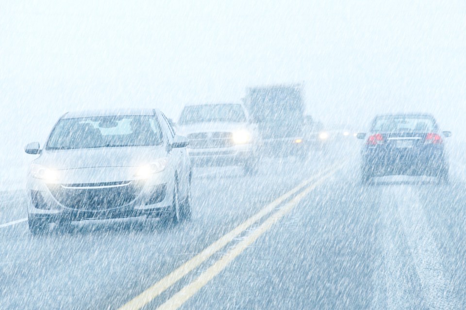
Peak snowfall rates of 3 to 5 cm per hour with strong wind gusts resulting in significantly reduced visibility in blowing snow.
Snow is forecast to begin late Friday afternoon and will quickly become heavy at times, before transitioning to periods of rain Friday night as temperatures rise above freezing.
Strong southeasterly winds gusting up to 70 km/h will combine with this heavy snow to cause significantly reduced visibility at times. There is also a risk of a short period of freezing rain Friday night.
In the wake of this system, much colder Arctic air will become established across the region.
A multi-day lake effect snow event is expected for locations east of the Great Lakes bringing additional snowfall accumulations to some communities.
Surfaces such as highways, roads, walkways and parking lots may become difficult to navigate due to accumulating snow.
Visibility will be suddenly reduced to near zero at times in heavy snow and blowing snow.
Avoid travel if possible.