WEATHER ALERT
ENVIRONMENT CANADA
*************************
Snow squall warning replaces snow squall watch for:
Guelph - Erin - Southern Wellington County, Ont. (046420)
Kitchener - Cambridge - Region of Waterloo, Ont. (046430)
Current details:
Snow squalls likely late tonight into Tuesday.
Hazards:
Local accumulations of 10 to 20 cm.
Intense snowfall rates of up to 5 cm per hour at times.
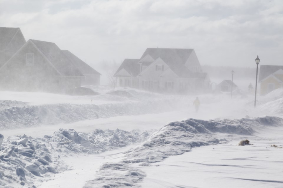
Very poor visibility at times in heavy snow and blowing snow.
Timing:
Later tonight through Tuesday.
Discussion:
Lake effect flurries have affected the area today with a few centimetres reported. Stronger snow squalls may begin to affect the area later tonight or early Tuesday morning. Brief periods of intense snowfall with very poor visibility will be possible. The snow squalls should weaken Tuesday night.
Although the snow could be very heavy at times, the lake effect snow bands are expected to meander somewhat, giving rapidly changing weather conditions.
Strong westerly winds followed by northwesterly winds will also occur, resulting in significantly reduced visibility at times.
Travel is expected to be hazardous due to reduced visibility. Rapidly accumulating snow could make travel difficult over some locations.
Prepare for quickly changing and deteriorating travel conditions. Consider postponing non-essential travel until conditions improve.
Please continue to monitor alerts and forecasts issued by Environment Canada. To report severe weather, send an email to [email protected] or tweet reports using #ONStorm.
More details on the alert are available here.
*************************
